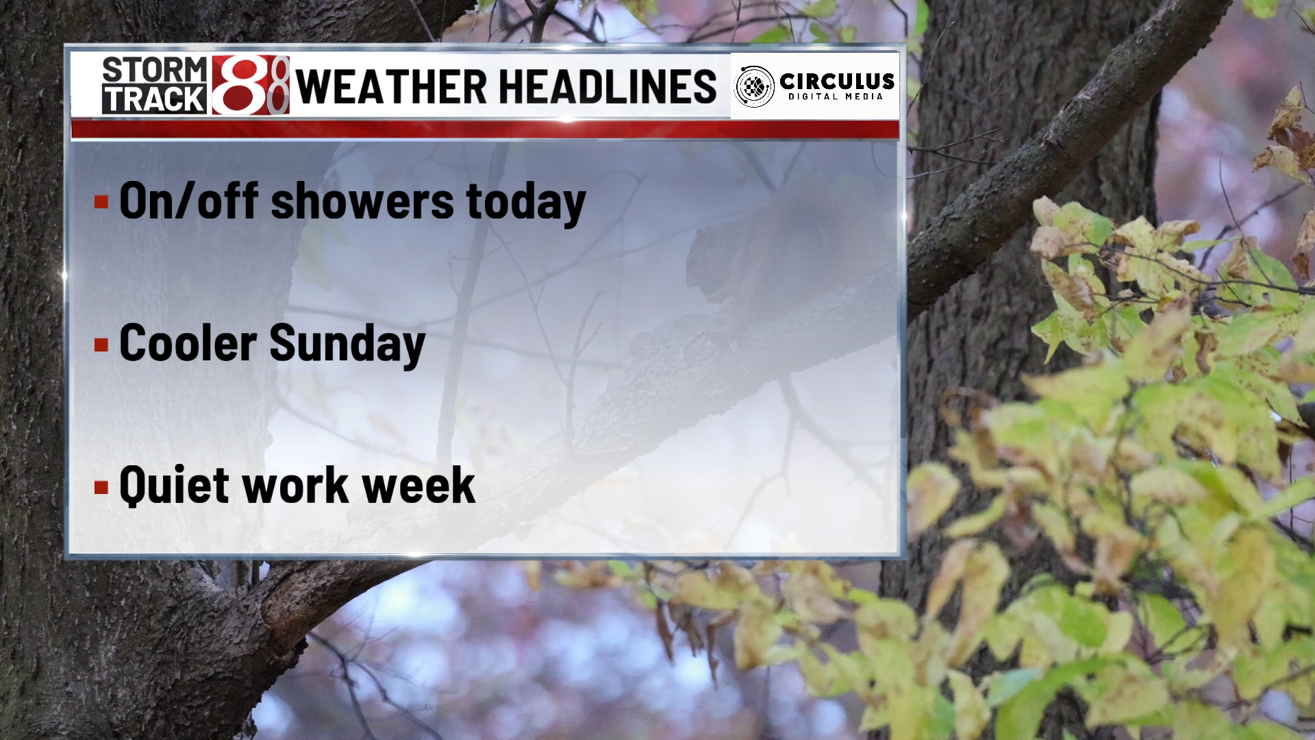
Better weather is right around the corner
TONIGHT

Saturday night will be mostly dry but a leftover light shower isn’t out of the question. Low temperature will be around freezing by morning but roads should dry out mostly so icy conditions aren’t super likely. Winds start to slow down but it will still be breezy out of the west at 10-15 mph.
TOMORROW

Sunday will be cloudy nearly all day long. High temperatures will struggle to even make it over the freezing point. Rain not incredibly likely however, in the northeastern corner of the state, some snowflakes could end up falling. Wins calmer yet but still not completely calm. Wins will be out of the northwest at 10 to 15 mph.
TOMORROW NIGHT
Sunday night we finally start to clear out skies. However, this will also lead us to a very cold Monday morning. Low temperature is expected to be in the lower 20s by Monday morning. Wins continue to calm down. However, they will still be out of the northwest at 5 to 10 MPH.
MONDAY
By Monday things are looking better sky conditions wise. We’ll see sunshine with high temperatures hitting about the 40-degree mark. Winds will now be out of the southwest at 5 to 10 MPH allowing for us to warm that extra bit in the afternoon hours.
8 DAY

For the next eight days, it looks like we will have a dry period with relatively nice weather Monday and beyond. Temperatures will be around average if not just over average by a few degrees each day and there will be a mix of sunshine and clouds all the way until next weekend. Next weekend, things could potentially get wet again however, for the most part, it looks like better conditions than what we have this weekend. Winds should be much calmer than they have recently for most of next week. Winds between 5 and 10 MPH for most days and nights.