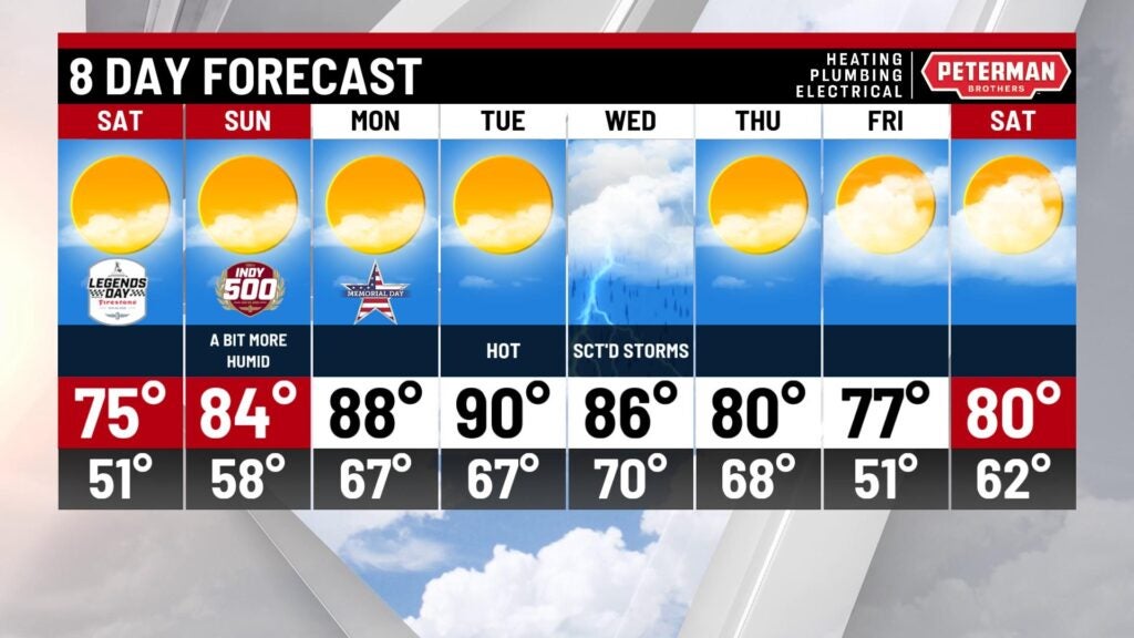
Warming up through race weekend
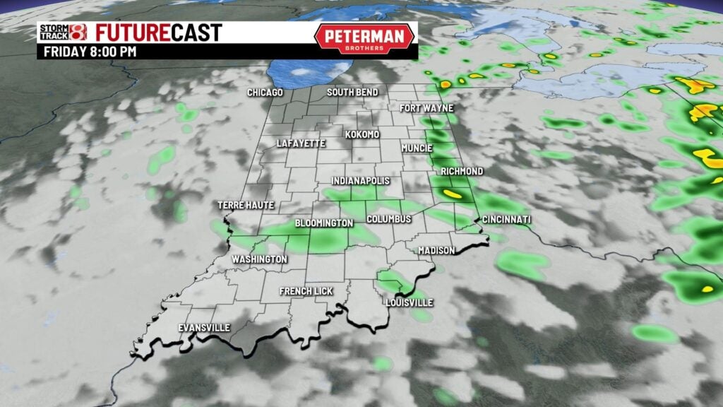
INDIANAPOLIS (WISH) — It has been an active Friday with slow moving showers and storms. Some areas even saw extended periods of heavier rainfall. This will open the door for a dry race weekend with temperatures set to warm-up.
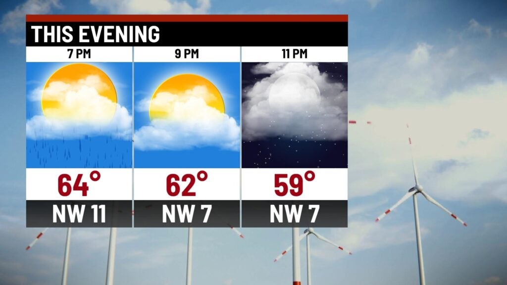
Friday night: Showers will gradually move out going into the nighttime hours.

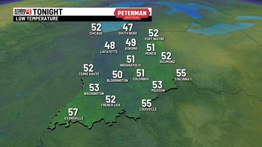
A cooler night will be on deck with lows in the upper 40s and low 50s.
Saturday: We are shaping up to have a picture perfect Saturday statewide with lots of sunshine! The Indy 500 parade that will take place at noon will have no problems weather-wise with temperatures in the upper 60s to low 70s. Highs eventually make their way into the mid 70s.


Sunday: A warmer day is expected for Indy 500 race day, but we are set to remain dry thankfully. We will notice a slight uptick in the humidity values with winds becoming breezy out of the south. Highs look to slide into the mid 80s.


8-Day Forecast: The warming trend continues into next week in which we really turn up the heat. We have yet to hit a 90° day this year. Tuesday looks to be our best chance of getting our first 90° day in the books. Then, rain and storm chances look to return by midweek. This will send in slightly cooler air by the end of next week.