NWS: Saturday tornadoes confirmed in Brown, Johnson, Shelby counties
INDIANAPOLIS (WISH) — The National Weather Service confirmed Sunday that severe storms spawned three weak tornadoes Saturday in central Indiana.
An NWS survey of storm damage determined the tornadoes touched down Saturday afternoon in three counties:
- 3:40 p.m.: EF-0 tornado, Brown County
- 3:48 p.m.: EF-0 tornado, Johnson County
- 3:57 p.m.: EF-1 tornado, Shelby County
The tornadoes caused damage to property and trees in all three counties, but there were no reported injuries.
Indiana has had 10 tornadoes so far in 2021, Storm Track 8’s Ryan Morse reports in his recap of the storms that hit Saturday.
Brown County: EF-0 tornado
The first of Saturday’s confirmed tornadoes was an EF-0 at around 3:40 p.m. The tornado had peak winds of 84 mph when it touched down just south of Princes Lakes. An EF-0 tornado has winds between 65 and 85 mph.
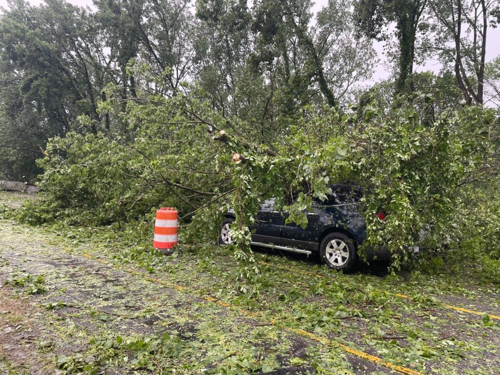
The tornado traveled for about three-tenths of a mile, bringing down trees in a heavily wooded area. Damage from straight-line winds uprooted and broke trees in a wide area along the tornado’s path.
Johnson County: EF-0 tornado
The second tornado confirmed by NWS was an EF-0 tornado that touched down just before 3:50 p.m. at Camp Atterbury, about three miles west of Edinburgh near the Bartholomew County line.
The tornado, with peak winds of 84 mph, tore the steeple from the roof of the post chapel, according to a Facebook post by the Trafalgar Fire Department.

The NWS says straight-line winds of 80 to 90 mph also knocked down and uprooted trees in the area.
Vehicles traveling near Whiteland were also hit by falling tree debris, according to Michael Pruitt, deputy chief with the Bargersville Fire Department.

Shelby County: EF-1 tornado
A third and final tornado touched down just before 4 p.m. a few miles northeast of Edinburgh in southern Shelby County. The tornado had peak winds of 110 mph and “skipped” along a 14-mile path, the NWS survey found.
The tornado knocked down numerous trees and tore others out of the ground. The worst of the damage was in Mt. Auburn, where the path of damage was 100 yards wide.
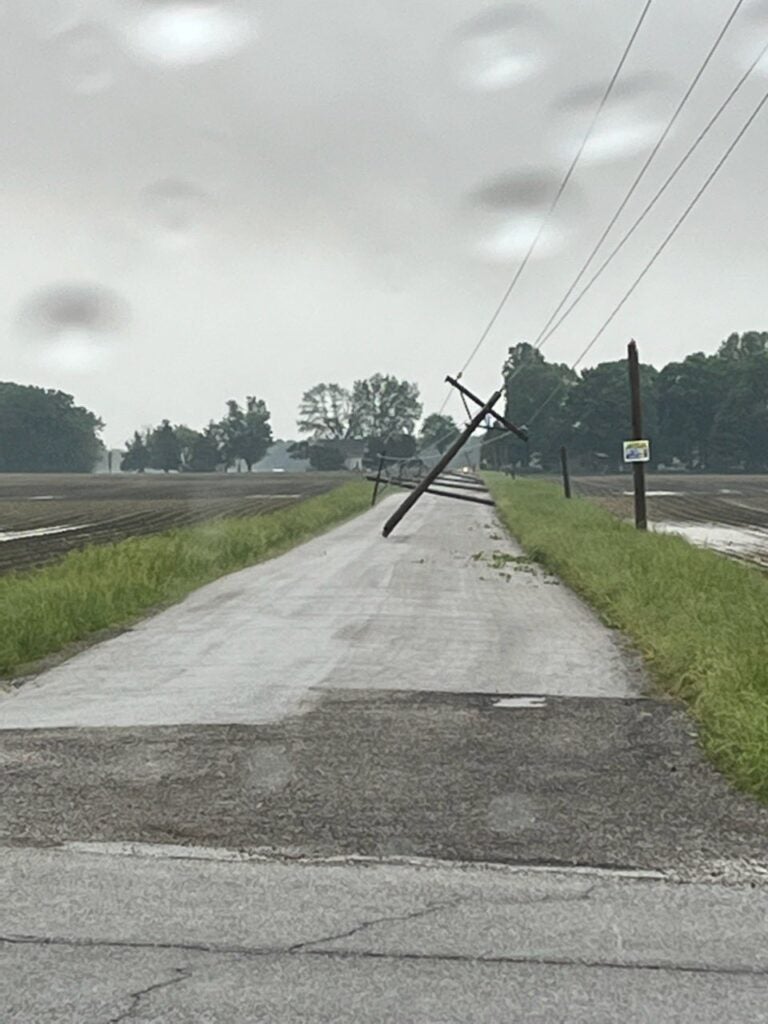
NWS says straight-line winds of 80 to 90 mph led to uprooted trees and snapped utility poles.
