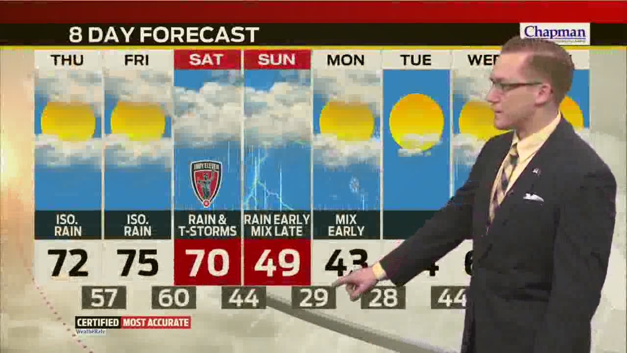
The 70s will return today, but rain and strong storms will halt the warming trend this weekend
Spring has finally sprung… for now. Though it’s not a record, we’ll top out above the 70 degree mark this afternoon for the first time since mid-February. Before that, the last time we hit 70° was in early November of last year, over 150 days ago.


A few showers are in northern Indiana this morning, but those will clear out just after daybreak with a partly to mostly cloudy commute with mild temps.

If you’re heading out the door early this morning, it’ll be an extra hairspray kinda day with winds gusting to 30 mph or more at times. This south wind will be the driving force to push us over the 70° hump this afternoon.


We’ll remain cloudy and wind will ramp up again through the overnight hours, making for another mild and breezy Friday morning. Lows will bottom out in the upper 50s before rebounding into the mid 70s tomorrow afternoon!


Get out and enjoy some sunshine today or Friday before our next round of heavy rain and storms slides in Saturday. Rain showers look to return as early as the overnight hours with better chances for heavy rain Saturday night into Sunday. Some areas could pick up more than 1-2” of rain by the time things wrap up Sunday night.


Highs will drop dramatically from the low 70s Saturday into the upper 40s by Sunday afternoon. By Monday, we’ll have completed a 40° swing as lows sink into the upper 20s.


With the dropping temperatures, a wintry mix is possible early Monday with little to no accumulation in central Indiana. We’ll dry out and begin another warming trend Tuesday but rain will keep highs in the low 60s by mid-week next week.

