


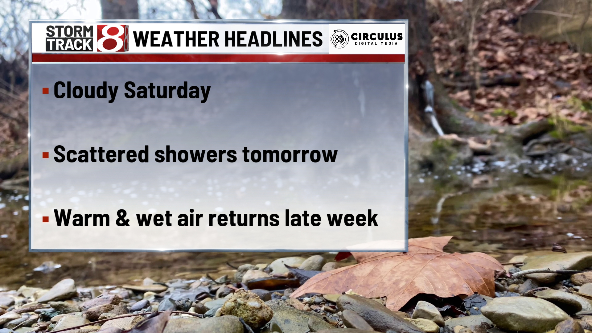
Damp conditions will continue into next week
TONIGHT

Saturday night should be another mild but still slightly damp one with yesterday’s low-pressure system long gone. However, moving into tonight, we are looking at another approaching into Sunday morning. Low temperatures tonight will drop to 40 degrees and a few pre-dawn showers could sneak in as well. Wind out of the southwest at 5 MPH. Skies remain cloudy all night long.
TOMORROW

Sunday will be a day full of precipitation off north near towns like Lafeyette, South Bend, and Gary. Further south in central Indiana, the precipitation will be lighter. Down in southern parts of the state, the rain could be nothing more than a mist. Wind out of the southwest at 10-15 MPH. Temperatures will remain cool under a cloudy day, high temperatures in the upper 40s for much of central Indiana. Travel will likely be impacted but not too poorly. Most of this rain is expected to be quite light but still be careful if you plan on heading out on the roads tomorrow.
TOMORROW NIGHT
Sunday Night will be where the precipitation moves out temporarily, but we need to keep our eyes out. It looks like we could see another wave of rain by Monday morning. Some models are even suggesting the northern parts of the state could see some snow mixed in with that rain. For the evening, however, we will be an even colder as the last few nights. As a result, temperatures will drop to the low 30s tomorrow night. Wind out of the west at around 10 MPH.
8 DAY

After some rainy days we finally get a nice patch of weather late next week. High temperatures in the mid to upper 50s and some sunshine sneaks in. Morning hours will remain near freezing till Thursday night. By Thursday we will be increasing moisture content in the air again. Thus, it looks like heavy clouds and rain could move back into the forecast by next weekend.