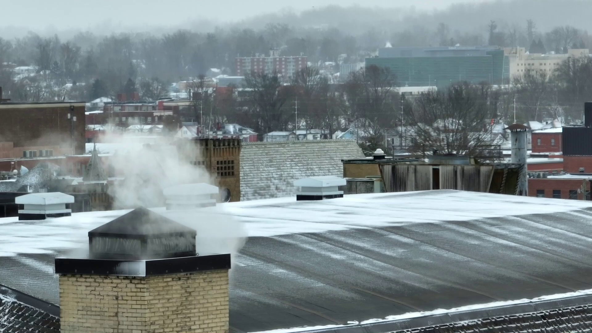
How will the arctic blast early next week affect snowfall amounts?
INDIANAPOLIS (WISH) — As we move into the weekend, a low-pressure system is expected to bring some snow early on in the weekend. However, after it passes, an arctic blast of air will likely move in and bring about some challenges of its own.

Snow and temperature have a unique tie. Typically, the lower you get below freezing when it is raining, the more snow you can get with less and less moisture. This is because the colder the environment a snowflake forms in, the fluffier and lighter the snow can become.

Wet snow closer to 32 degrees is heavy and is weighed down a lot more when it falls to the ground. The dry, colder snow can pile up very easily. However, there is a point when you get too cold that it can no longer hold any more moisture. Thus, it is nearly impossible for snow after a cold enough temperature.

While it’s a common belief that extreme cold can make snow formation nearly impossible, it’s crucial to note that this typically occurs at temperatures around -20° or lower. For Indiana’s upcoming weather system, the forecast indicates temperatures dropping just below zero — significantly warmer than the threshold where snow formation becomes highly unlikely. In these conditions, the air retains enough moisture to allow for the formation of snowflakes, albeit potentially lighter than what is observed in milder conditions.
The science behind this involves the transformation of water vapor into ice crystals, the fundamental process of snow generation. When temperatures are just below zero, as expected this weekend, there’s still sufficient moisture in the air for snowflakes to form. Therefore, while the conditions are cold, they are not so extreme as to prevent snowfall entirely. Instead, the state might experience lighter snowfall, influenced by the limited moisture available in the air.

Residents of Indiana should thus prepare for cold temperatures and the likelihood of some snowfall. This weather pattern serves as a reminder of the complexities involved in winter weather forecasting and the necessity of understanding the nuanced interplay of different atmospheric conditions.
