
Record temperatures to open the week
INDIANAPOLIS (WISH) — Records are very much in jeopardy for Monday and Tuesday. Some storms moving in Tuesday could be strong.
Monday:
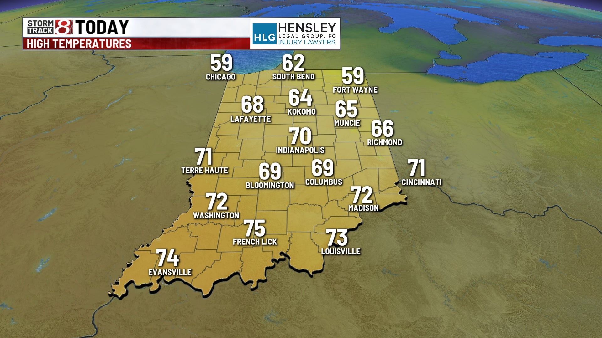
Lots of sunshine under the influence of high pressure. Winds will increase a bit later this afternoon. Record high temperatures could fall, topping out near 70°. The record in Indy for today is 68° set back in 1998.


Monday night:
For most, it’s a quiet, breezy, and very mild overnight. A few spotty storms could be possible after midnight, but should be few and far between. Lows fall to the mid 50s. The record warm minimum is 51° (1876)

Tuesday:
A warm front moves through Tuesday morning. Below the front, there will likely be spotty rain and storm chances through the day. A few heavy downpours will be possible, too.


By Tuesday night, the potential for stronger storms will evolve. All modes of severe weather are in play. The higher chance for severe hail and a possible tornado will be in the northern half of the state.

Much of the state is in the slight risk for severe storms Tuesday night.

Meanwhile, highs will push close to records, topping out near 70° for the afternoon.


Wednesday:
Temperatures will gradually fall through the morning as the front moves through. Expect scattered showers and storms shortly after midnight, but quickly changing over to light snow just before daybreak Wednesday morning. We’re not expecting much for accumulation, but a light dusting will be possible.

The rest of the day is dry and chilly, with mid-day temps in the mid 40s.

8 day forecast:
Briefly chilly for Thursday, with highs in the upper 30s/lower 40s. Temperatures will rebound quickly heading into the weekend, with highs in the low/mid 50s for Friday, and back into the 60s for the weekend.
