


Dry today but strong storms possible late Wednesday
INDIANAPOLIS (WISH)– We’re starting off the day with sunshine compared to moderate to heavy rain that some spots saw yesterday morning. We’ll see sunshine today with temperatures close to normal.
TODAY: Temperatures started in the upper 50s in some spots this morning. Look for sunshine through much of the day. It’s going to be quiet with light winds today. A few clouds will develop into the afternoon. There’s a chance we may see an isolated shower pop up later this afternoon and into the early evening hours.

TONIGHT: If you’re heading to the Indianapolis Indians game the weather looks fantastic. It’s State Fair Foods week and IndyCar driver Alex Palou will throw out the first pitch. We’ll see low humidity and clearing skies overnight. Temperatures fall into the middle 60s.

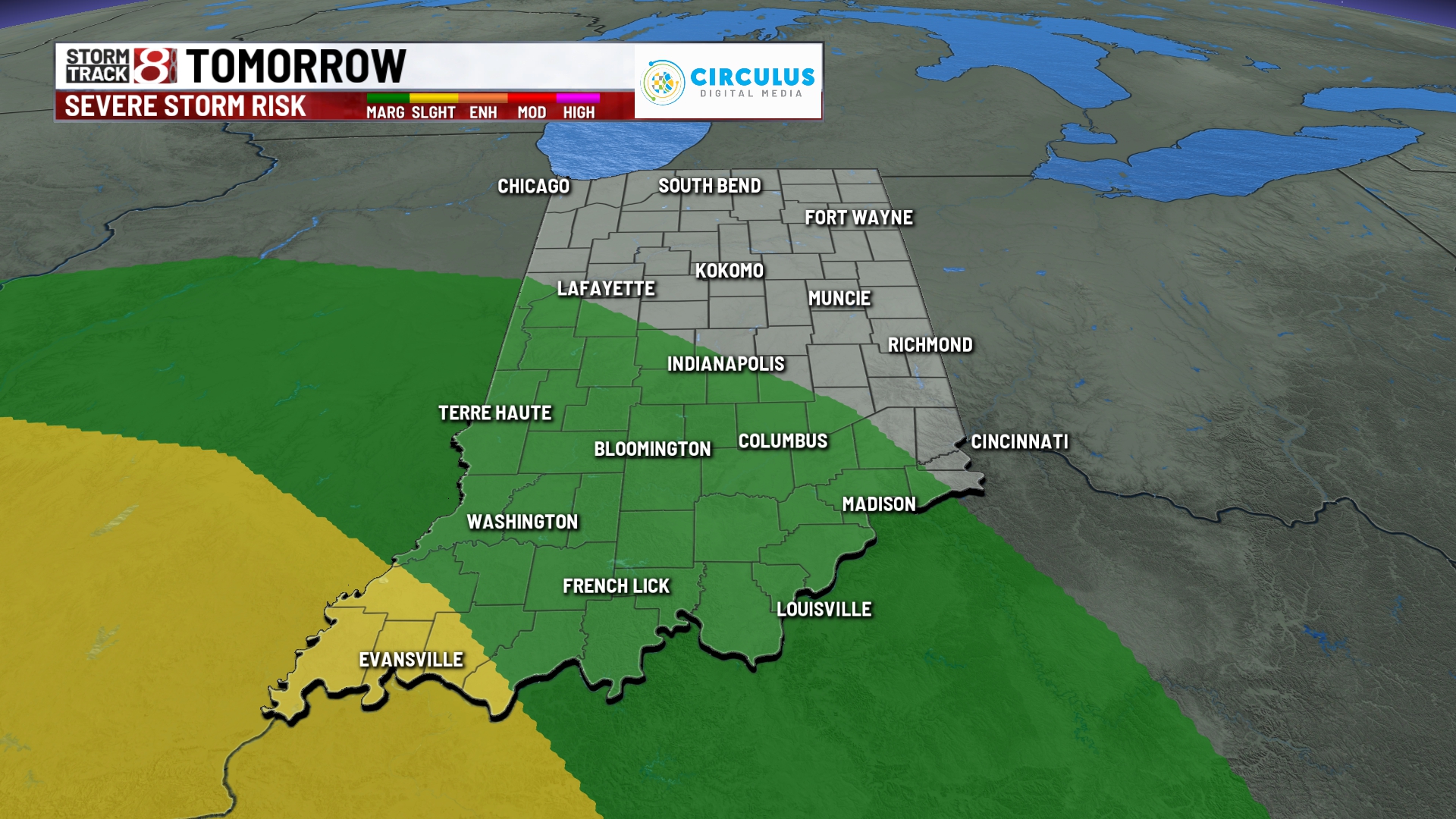
WEDNESDAY: The middle of the week brings several changes. Wednesday will start off dry. More clouds move into the state later in the afternoon. Temperatures climb into the lower 80s which is right around normal for this time of the year. There’s a chance for a batch of showers and thunderstorms to move into the northern part of the state after lunch and into the early afternoon. This isn’t the strong batch of storms we’re watching those come later Wednesday night. Those storms move into the central and southern part of the state late Wednesday. These storms may be strong producing heavy rainfall and damaging winds.


THURSDAY: A few showers are possible early Thursday morning. Otherwise the rest of the day will be quiet. Highs stay in the upper 70s near 80 for afternoon highs.

8DAY FORECAST: The heat cranks up Friday with highs in the upper 80s. It’s going to feel more uncomfortable with higher humidity for the end of the week. Rain chances continue into the first part of the weekend. Rain ends for the end of the weekend with highs in the lower 80s.
