Feeling miserable with unsettled weather through the end of July
INDIANAPOLIS (WISH) — We’ve had a busy last couple of days so far with showers and storms including a strong EF-2 tornado that was confirmed in western Madison county from Monday night.
This active and miserable feel train is not slowing down as we eventually head into August.
Tuesday night: Scattered showers and storms will be around into tonight especially for areas in southern Indiana. Areas in central and northern Indiana might have more widely scattered coverage as opposed to what we saw last night.
There will remain a risk for severe storms into tonight with the higher severe probabilities in place across southwestern Indiana. Damaging winds will be the primary threat.

Warm and muggy air is expected again tonight with lows in the low 70s.


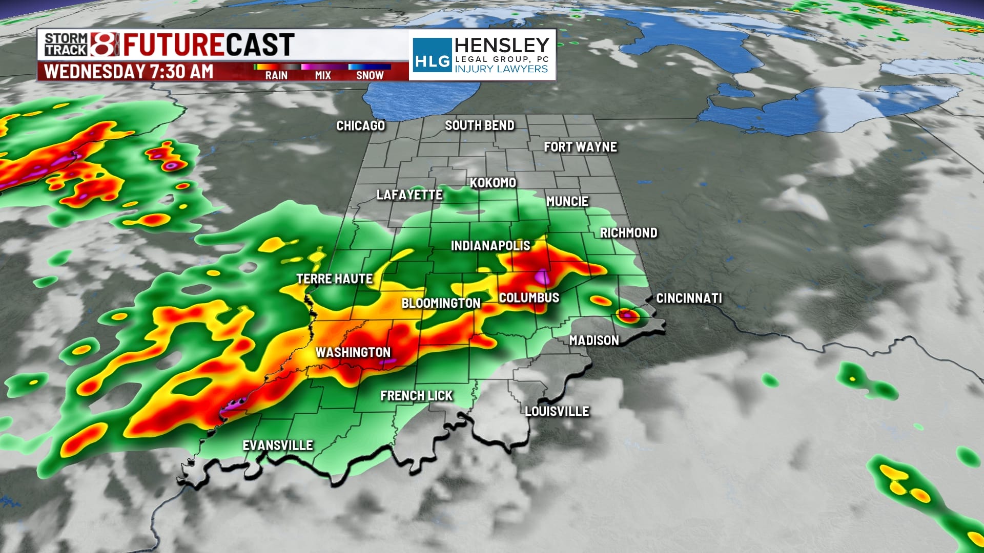
Wednesday: We will likely start our day with some showers and storms around. This activity will be on and off through the afternoon and evening hours. Some action could carry into Wednesday night, although that chance is low. It’s also worth noting that models have not done well with maintaining storm intensity as they keep suggesting it dies out sooner than it actually does. Overall, an active end to July is ahead.


A low severe risk is in place across all of Indiana for Wednesday with damaging winds set to be the main concern. Additional flooding issues may arise with potential for some more localized flash flooding.

Highs look to rise into the upper 80s and low 90s if storms and cloud cover don’t hinder the warming process too much. Peak heat index values may reach 100-105 in some spots.


Thursday: August is going to start hot and terribly muggy with on/off storms. There looks to be the potential for some morning activity before a second round of stuff fires off closer to Thursday evening.


This second round of activity will feature a slightly higher threat for severe storms. Damaging wind will again be the primary threat. The threat for flooding also stays with us too.

Highs will push into the upper 80s to low 90s with peak heat indices over 100 in some spots.

7-Day Forecast: Rain and storm chances will persist through Friday and into the first half of this weekend. Although highs will slightly fall back into the mid 80s by Friday and this weekend, the muggy meter will remain elevated through this time period. Expect near to above normal temperatures into next week.


