Increasing cloud cover with weekend rain chance on deck | Nov. 8, 2024
INDIANAPOLIS (WISH) — We had a very nice Friday to close out a workweek that had a very active first half stint.
More active weather is slated to head our way this weekend with temperatures staying above normal into next week.
Friday night: Skies are set to turn partly cloudy tonight. A few spots may see light fog, but it will not be as prominent as last night. Lows will fall into the low to mid 40s.


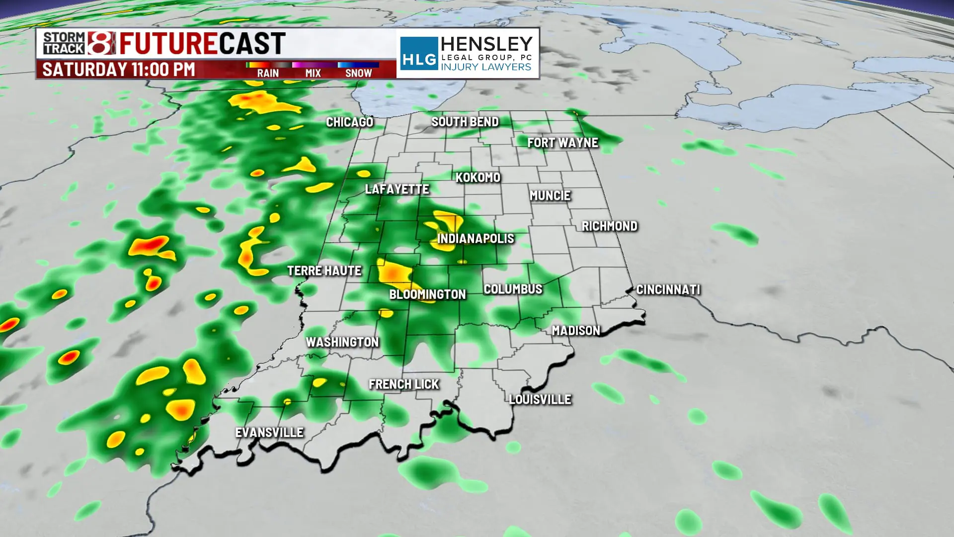
Saturday: We’ll see our next forecast transition go through it’s first phase on Saturday. This will be in the form of increasing cloud cover from an incoming weather system that has brought a ton of snow to Colorado and severe weather in Texas. In this case, we are well within the warm sector of this system, but we are going to be lacking unstable air for a real severe threat. It will take a while for dry air to be overtaken, and this is why we believe rain will hold off until near and after sunset. Showers will turn numerous with the potential for a few rumbles of thunder.


Highs will struggle to get into the low 60s due to lack of sunshine.


Sunday: Expect a rainy start to Sunday as widespread activity sticks around through Sunday morning. We look to start thinning out the rain early to mid afternoon Sunday. However, it will be a little breezy for much of the day with gusts over 20 MPH at times.


Overall rainfall amounts look to be in the range of 0.5″-1″ for most of central Indiana.
Highs are set to reach the mid 60s.

7-Day Forecast: We’re back to fully dry days by Monday with temperatures regressing a slight bit. Highs will only top out in the upper 50s to low 60s Monday and Tuesday. Another weather system is currently being depicted on longer range models for roughly next Wednesday with possibly more rain in the mix. This time around, we could have a stronger shot of colder air that swings in behind the system.

