


Turning warmer with additional rain chances the next few days
INDIANAPOLIS (WISH) — Another round of beneficial rain has been scooting through portions of northern and central Indiana for our Tuesday. We’ll move this round of rain out by late tonight, and we’ll track a warmup with more chances for rain going towards Father’s Day weekend.
Tuesday night: Expect rain to carry through near and north of interstate 70 into the early overnight hours. There could also be a few heavier downpours.


Lows will dip into the mid 50s.


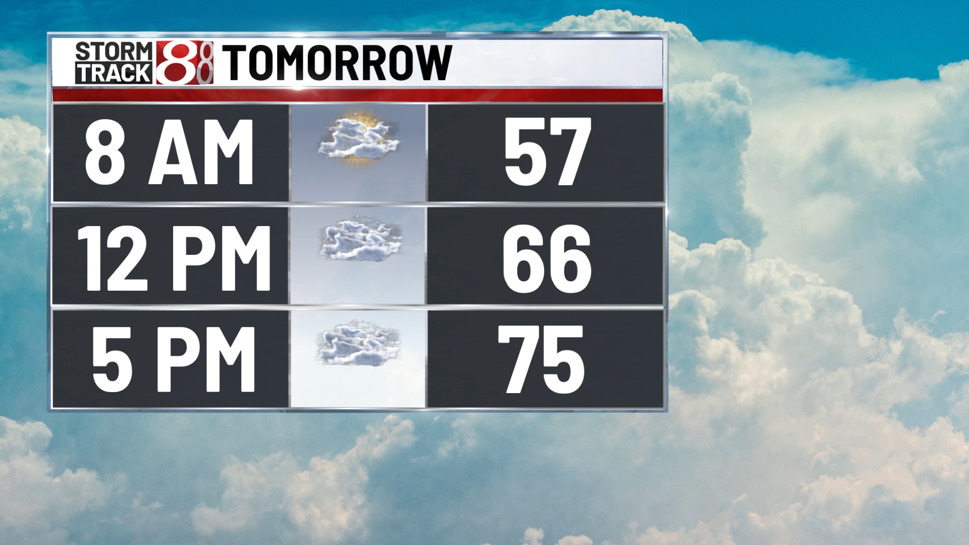
Wednesday: A few isolated showers may develop during the day Wednesday. Cloud cover will decrease partially by the afternoon hours.


Highs look to be a little bit warmer with numbers approaching the upper 70s.


Thursday: Temperatures are set to return to the 80s on Thursday with a mix of sun and clouds. By Thursday afternoon, a few showers and storms will be possible. Severe weather is not expected at this time.


8-Day Forecast: Dry air will briefly infiltrate the state for Friday before more rain and storm chances arrive for Father’s Day weekend. Saturday features a fairly low chance for spotty showers and storms. Precip chances remain on the lower/spotty side through Father’s Day and into next Monday. Highs look to stay in the low to mid 80s through the weekend and into early next week.
