Flooding alerts in effect in central Indiana
INDIANAPOLIS (WISH) — Another round of steady rain is on tap for the start of the week. Combined with already overly saturated ground and overflowing rivers and streams, central Indiana flooding concerns will continue.
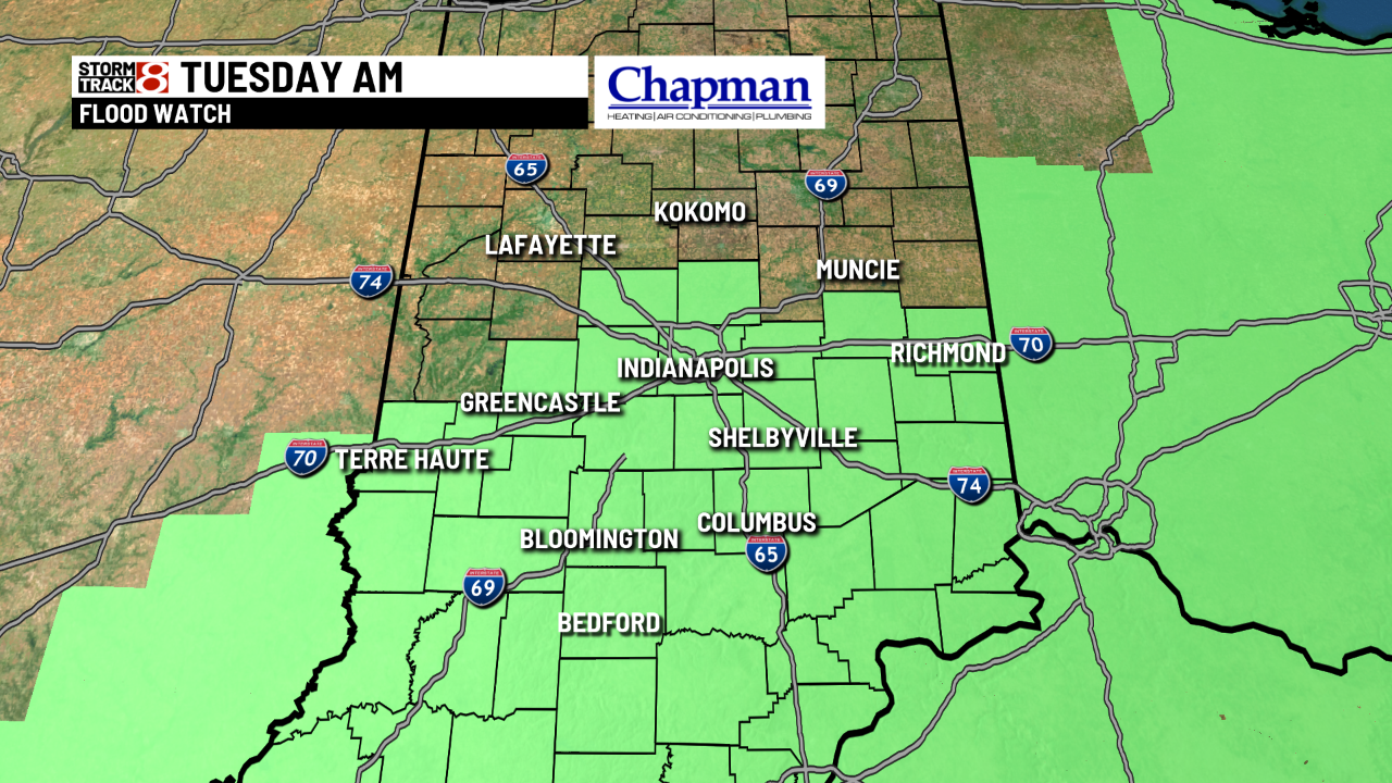
A flood watch is in effect until Tuesday morning, and several river flood warnings are in effect for the next few days.


The highest river levels — in moderate flood — are located southwest of Indianapolis. Six-day rainfall estimates place from 3 to 5 inches of rain in areas south of Indianapolis.


There will be some concern for slight increases in water levels on area rivers as standing water from last week, which has since been frozen, melts and runs off into area creeks and streams. Combined with additional rainfall up to 1 inches or more, central Indiana will see some moderate flooding in many of the rivers south of Indianapolis through midweek.

In terms of flash flooding, guidance says we would need to see from 2 to 3 inches of rainfall to create some flash flooding across many Indiana counties including the Indianapolis metro. Hopefully, we won’t get that high. If we were to see numbers like that over 24 hours, it would be in far south-central Indiana counties.

The southern portions of central Indiana are under a marginal risk for excessive rainfall Monday night into Tuesday.

To make matters worse, more rain is in the forecast for Thursday and Friday this week.