Hurricane Rafael shifts westward in a curious path
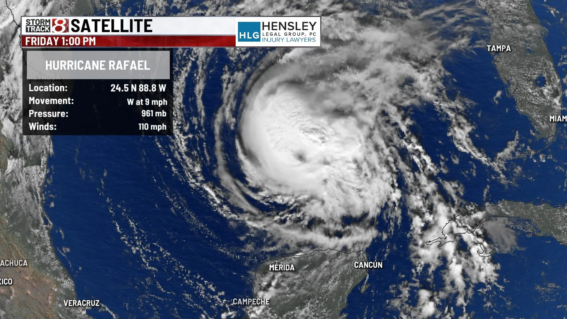
INDIANAPOLIS (WISH) — As Hurricane Rafael swirls through the Gulf of Mexico, it’s taking an unusual trajectory that’s capturing meteorologists’ attention. Currently positioned near 25°N and 89°W, Rafael is inching westward at around eight knots, drawing closer to the Texas coast. Yet, instead of barreling toward land, Rafael is forecast to make an unexpected pivot, looping southward away from the U.S. Gulf Coast. This uncommon path might spare coastal areas from a direct impact, but Rafael’s potent winds and high seas will still leave their mark along the Gulf’s waters.

With sustained winds near 95 knots and gusts reaching 115 knots, Rafael has been churning up powerful swells in its vicinity. Hurricane-force winds currently extend up to 25 nautical miles from its center, with tropical storm-force winds reaching up to 80 nautical miles northeastward. Waves of 12 feet or more are projected to span well over 200 miles in some areas around the storm’s core, peaking at 33 feet. These swells will likely produce rough seas along the U.S. Gulf Coast, heightening rip current risks for those along the shorelines from Texas to the Florida Panhandle. Mariners and coastal residents are advised to keep a close watch on local forecasts for any updates on wave and wind conditions as Rafael drifts across the Gulf.

Meanwhile, attention shifts eastward toward a second system near the Greater Antilles. A loosely organized collection of showers and thunderstorms is associated with a trough of low pressure stretching from Hispaniola toward the southwestern Atlantic. Currently, the chances of this system developing into something more substantial are slim—just 10 percent over the next 48 hours and seven days. However, it will still bring periods of heavy rain to areas including the Virgin Islands, Puerto Rico, Hispaniola, Turks and Caicos, and the southeastern Bahamas through the weekend.

As hurricane season nears its typical end, the Atlantic’s waters remain warm enough for a final burst of activity, though conditions for substantial storm development are waning. With Rafael’s western arc and the slow-moving trough near the Greater Antilles, it’s a reminder of the late-season surprises the tropics can deliver. While we hope for a quiet end to the season, it’s always worth keeping an eye on the Gulf and the Caribbean this time of year.
