When does central Indiana usually see its first frost and freeze?
INDIANAPOLIS (WISH) — We are entering the part of the fall when temperatures really start to take a hit at times. This weekend, our temperatures will be the coolest of fall so far. It will probably not be enough for our area to see our first frost.
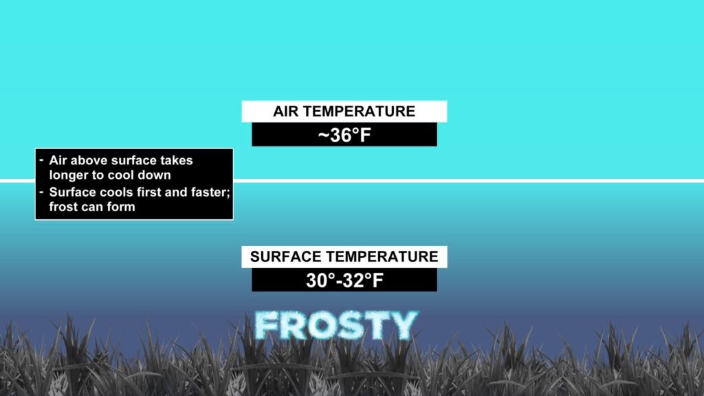
Frost formation can occur even with temperatures above freezing. This is because the air temperature even just a few feet above the surface takes longer to cool down. On clear, calm nights an air temperature of 36 degrees can cause patchy frost.

Average First Frost of Fall
In central Indiana, there are varying times of the average first frost. In this case, the average first frost data from the National Weather Service is 36 degrees or cooler for the low temperature. The years used to calculate the average stretch from 1991-2020.
Most spots south of I-70 have our average first frost in the middle of October. Lafayette has an average first frost pretty early on Sept. 30. On average in Indianapolis, the average first frost is Oct. 17.

Average First Freeze of Fall
Just like the average first frost data, the average first freeze dates are based on the 1991-2020 climate normals. Of course, the average first freeze occurs a couple of days later. South of I-70, that is typically after Oct. 20. Here in Indianapolis, that average first freeze is around Oct. 26. Kokomo achieves its first freeze around Oct. 18.

The National Weather Service provides data for many spots in central Indiana with regard to frost and freeze information. That data can be found here.
Recent first freezes in Indianapolis
In the last five years, Indianapolis has had its first freeze four times before its average first freeze date of Oct. 26. The latest recent first freeze we have seen is Nov. 1.
