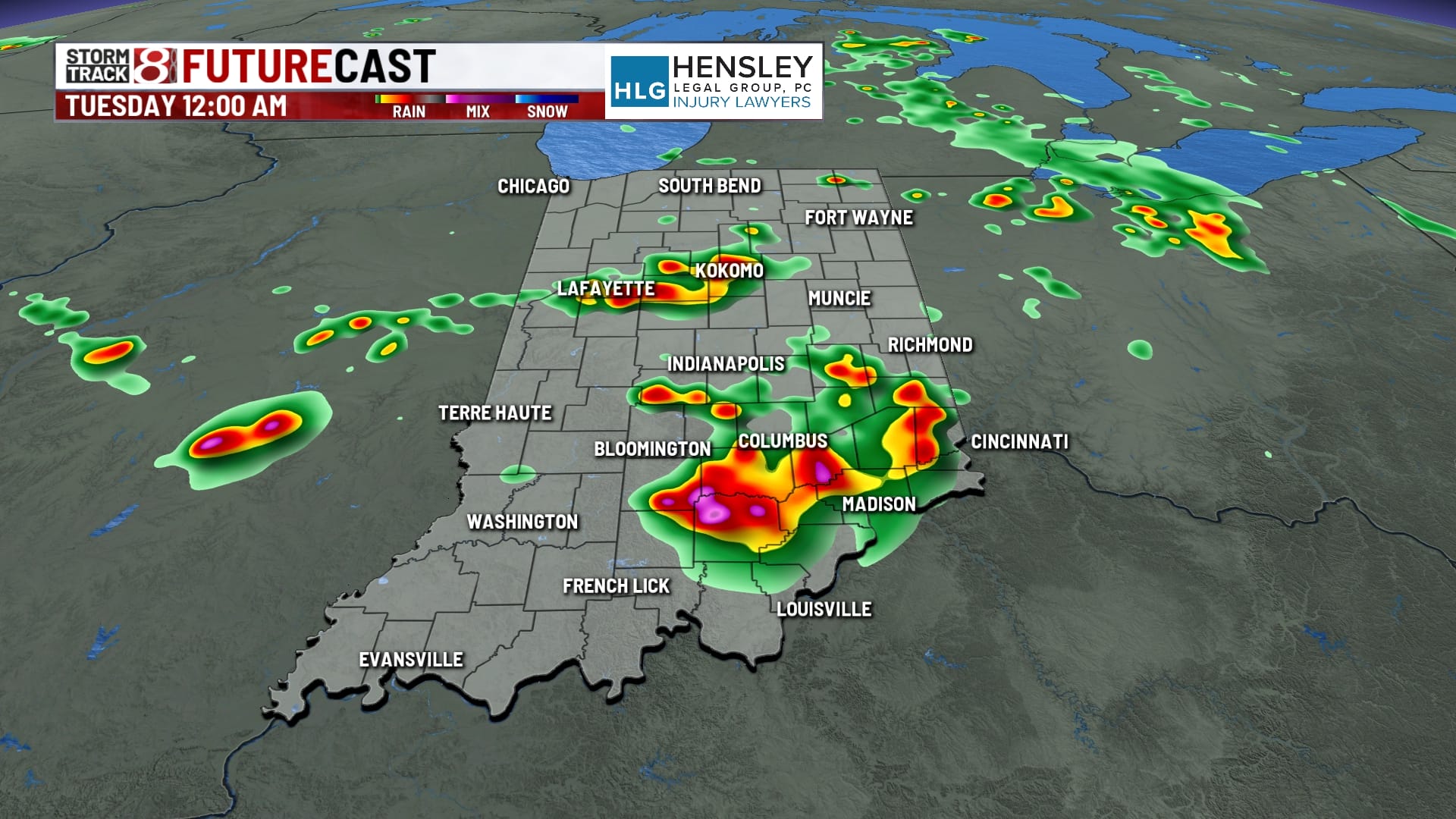
Stormy and steamy week ahead
INDIANAPOLIS (WISH) — Multiple rounds of severe storms are possible this week.
This morning:
Some low clouds are hanging around much of central Indiana this morning, but we are relatively quiet with muggy conditions. We are keeping an eye out for the complex that is racing through Iowa this morning.


Monday:
A line of storms in Iowa will race across Illinois through the morning, likely arriving near lunchtime around central Indiana. Expect the chance of some strong to severe thunderstorms, with damaging winds being the primary concern.


There could be a few leftover showers and thunderstorms coming our way for the afternoon hours. Meanwhile, temperatures will top out into the mid- and upper-80s with high humidity.


Monday night:
More storm development as we head into the evening and overnight hours. Again, a few of those storms could be strong to severe, with all modes of severe weather in play.


Overnight lows will fall to around 70°.

Tuesday:
Storm chances will continue into Tuesday, especially into the afternoon and evening, where we could see strong to severe thunderstorms again.


High temperatures will top out into the upper 80s, with what feels like temperatures closer to 100°


Wednesday:
Storm chances continue as we head into your Wednesday, although a bit lower than early on in the week. There is also a chance for a few strong thunderstorms heading into the afternoon. Thursday is a similar setup, with strong storms possible in the afternoon and very hot temperatures.

7 day forecast:
In the extended forecast, we see some relief from the high heat and humidity by late this week. Highs top out in the mid-80s starting Friday, with just a chance for showers and thunderstorms. A very similar setup as we head into the weekend with highs into the mid-80s both Saturday and Sunday with very low chances for precipitation.


