Freeze Warning Tonight
…FREEZE WARNING REMAINS IN EFFECT FROM 2 AM TO 9 AM EDT
MONDAY…
- WHAT…Sub-freezing temperatures as low as 30 expected.
- WHERE…Portions of central, east central, north central and
west central Indiana. - WHEN…From 2 AM to 9 AM EDT Monday.
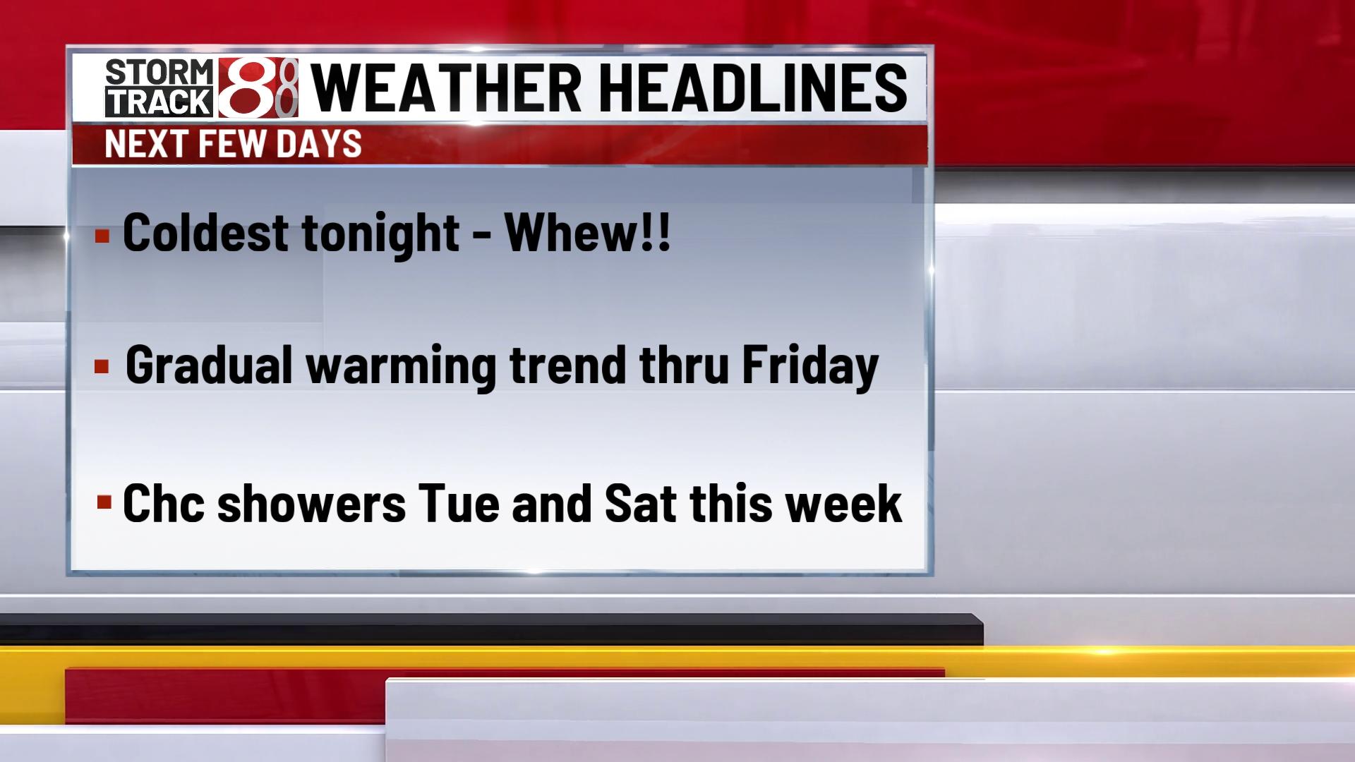
It was 34 Sunday morning and it will be even colder Monday morning. Low temperature about 32 in Indy and possibly colder in outlying areas. Grab the heavier coat on the way to work or school Monday morning. With a little sun it will warm up a bit by Monday afternoon with a warming trend the next several days.
Tonight – Partial clearing. Low 32
Monday – Very cold start, but a little warmer by afternoon. High 56.
Tuesday – Warming trend continues. A chance for some isolated afternoon rain showers. Low of 36, High 61.
Wednesday – Partly cloudy and finally back to near normal late April temperatures. Low 41. High 62.
Extended Outlook (Thu-Mon) – Continued gradual warming trend through Saturday. Another cold front brings the chance for showers next weekend and leads to cooler temperatures again Sunday and Monday.


