Pleasant weather through midweek; eyeing much hotter temperatures in long-term forecast
INDIANAPOLIS (WISH) — We got a nice taste of fall-like weather for our Tuesday with lots of cloud cover, cooler temperatures, and a refreshing breeze out of the north.
There were also a few showers out there during the day as well.
We expect this pleasant trend to mainly continue the next few days, but we are watching for the return of hot temperatures going into next week.
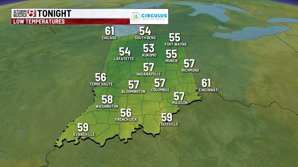
Tuesday night: Even cooler air is in store with skies turning mostly clear overnight. Patchy fog will work into the mix closer to daybreak Wednesday. Wednesday morning will be Indy’s coolest morning since June 17 (56) as lows fall into the mid to upper 50s.


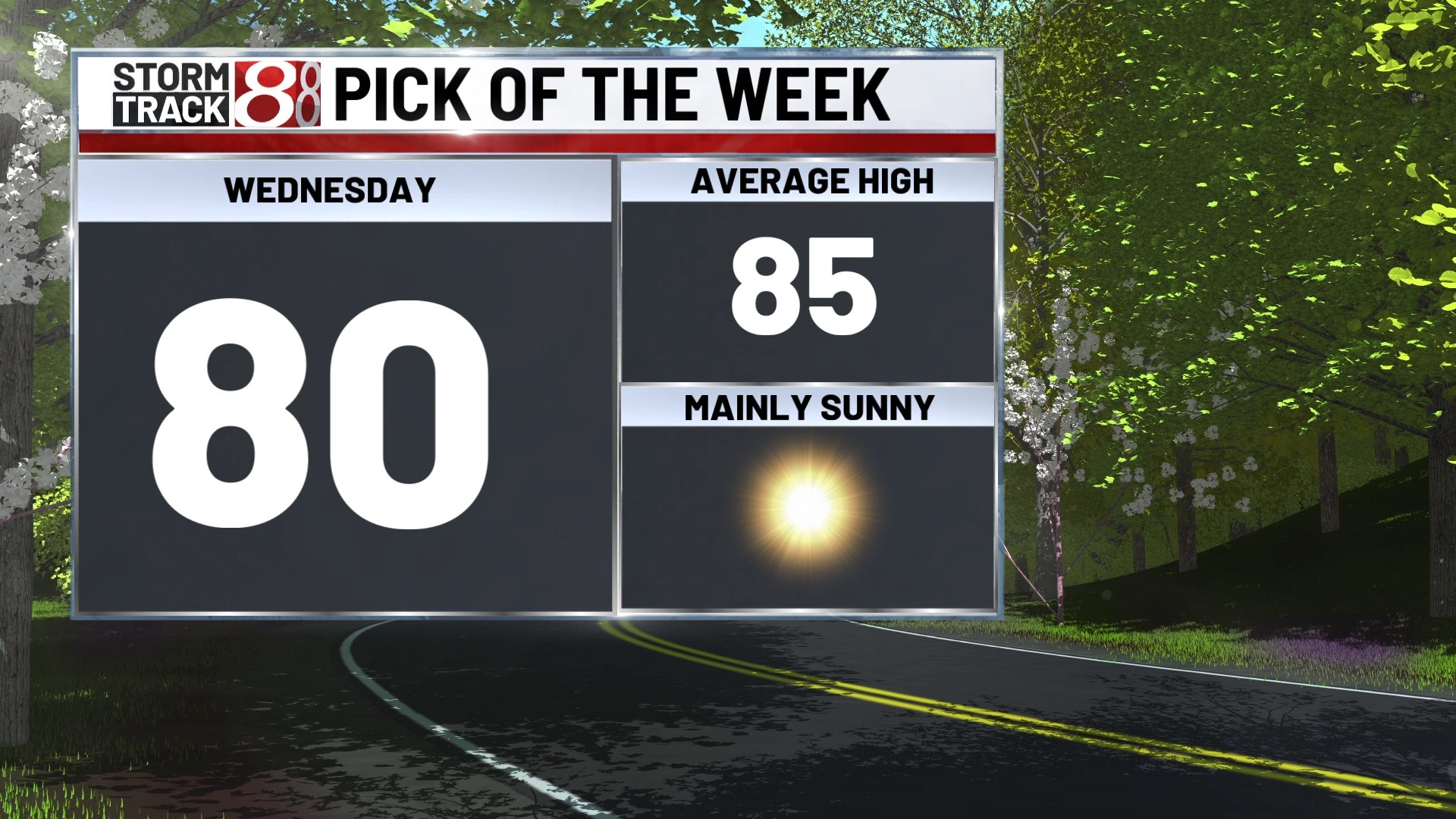
Wednesday: A comfortable start to Wednesday will give way to the best weather day of the week. There will be lots of sunshine and comfortable conditions waiting for us on Wednesday as a whole. Highs look to only make their way into the upper 70s to low 80s.


Thursday: Temperatures look to stay below normal, but we will see a brief spike in the muggy meter due to a wind shift out of the south. This wind shift will also lead way to an unusually breezy day by August standards with gusts from 25-30 mph at times. In addition to the higher humidity and breezy winds, a few showers will be possible in the afternoon and evening. Highs in the low to mid 80s.

8-Day Forecast: Expect the muggy meter to quickly drop back down into the comfortable level just in time to end the workweek. Highs will hold in the low to mid 80s for Friday and Saturday. Ultimately, the heat will find its presence back in our state starting Sunday. A strengthening upper-level ridge just to our west will be the culprit to this increasing heat. Highs will climb toward the 90s Sunday before we potentially crank up further into the mid 90s early next week. It is worth noting that the center of this ridge will sit closer to us than recent ones this summer, so that also means the active storm track that rides around it will likely sit to our north and east. Keep checking in for further details as this may change, but we could be in for a very hot stretch for much of next week.

