Cold air funnels spotted Tuesday
INDIANAPOLIS (WISH) — It’s a common phenomenon that happens a few times of year. They look like tornadoes, but they are different. They are cold air funnels.
Bartholomew County Emergency Management Director Shannan Hinton confirms to News 8 that several callers reported seeing a funnel cloud in the Taylorsville area after 11 a.m. but after checking with the NWS, it was believed to be a cold air funnel.
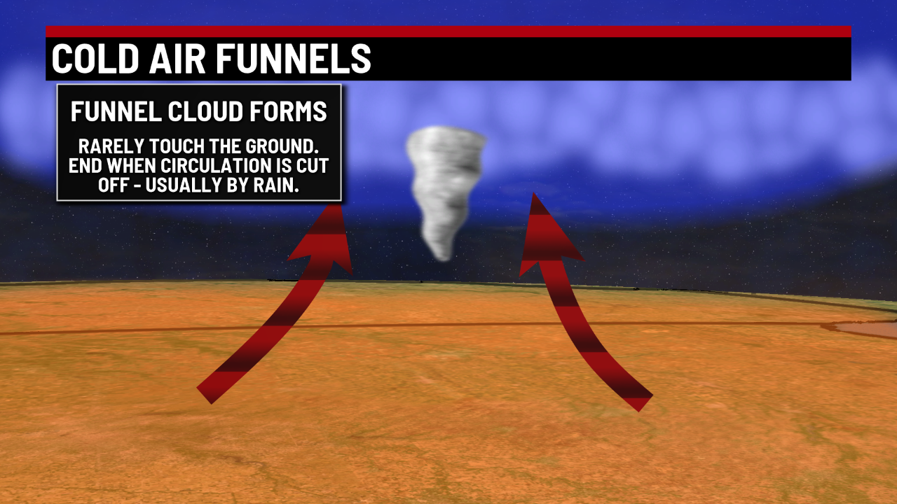
Cold air funnels are most commonly associated with showers and weak thunderstorms. They are most common in central Indiana in the spring and fall, when the sun is able to warm up the lower layers of the atmosphere, but the temperatures aloft are quite cool.


The rotation is usually created after a passing cold front, which creates differing wind directions with height in the atmosphere. If the atmosphere is moist enough, you can spot a condensation funnel, which creates the threatening look of a tornado.


While these funnels have characteristics similar to a tornado, they are quite different. A tornado is formed from a parent rotating super cell, while a cold air funnel is not spawned from a rotating thunderstorm. Tornadoes can and often do reach the ground, causing significant damage at times. Cold air funnels rarely reach the ground, often dissipating after only a few minutes.
Many communities will sound storm sirens for cold air funnels because it is sometimes difficult to know the difference between a tornado and a cold air funnel. The National Weather Service rarely issues tornado warnings for cold air funnels, as they are weak and incredibly hard to detect on radar.
Despite the low threat from a cold air funnel, they do reach the ground on rare occasions. They are typically rated EF0, and can cause minor damage such as pulled shingles and down tree limbs. If you happen to be near a cold air funnel, it’s always best to practice your tornado precautions until the threat has passed.
