Google Maps gets overexcited, marks WB I-465 ‘closed’ Friday morning
INDIANAPOLIS (WISH) — No one is more excited about the upcoming closure of westbound I-465 than the people at Google Maps.
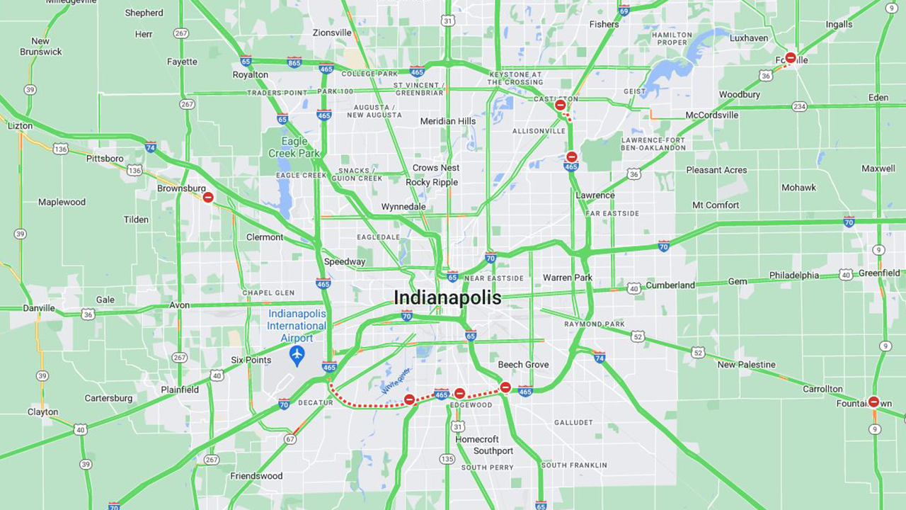
After the Friday evening rush, workers will shut down the westbound lanes of I-465 between I-65 to I-70 for the next three weeks. It’s the same type of work done in June when the eastbound lanes were closed.
Google Maps, however, didn’t appear to get the message. At 6 a.m. Friday, the app had marked westbound I-465 as “closed” using a series of angry red dashes.
All westbound lanes and ramps will remain open until the end of the Friday evening commute. After that, lanes will be closed one by one.
The closure is part of the I-69 Finish Line Project which will eventually connect I-69 from Martinsville to the I-465 interchange at Harding Street. The $1.5 billion project is set to wrap up by the end of 2024.
