More storms this evening; cooler air returns Wednesday
INDIANAPOLIS (WISH) — A few strong storms will be possible late tonight into the overnight hours.
Tonight:
Much of the area had a soaker of a Tuesday – with ranges of rain around .50″ to 1.5″ – but some locally higher amounts between 2″-5″ west of Indy caused some low lying flooding issues.
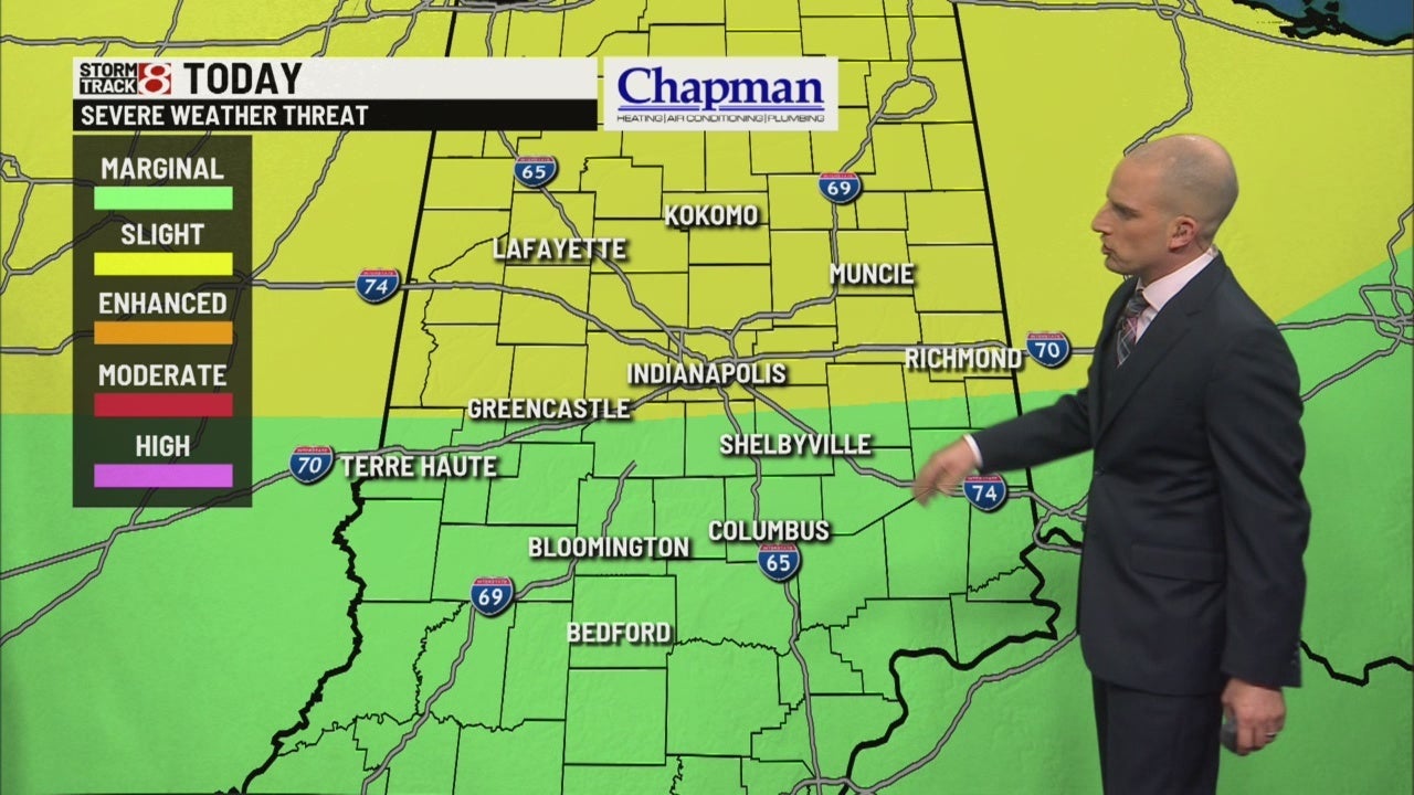
We’re still watching for the potential for severe storms. The northern half of the state is still under a Slight Risk for severe storms. The rest of the state remains in a Marginal Risk.

For most, severe weather threat will be limited to damaging wind potential. However, it is possible for a few rotating storms, and an isolated tornado can’t be ruled out.
Showers and storms should come to a halt no later than the daybreak hours of Wednesday.


Overnight lows fall to the upper 50s and lower 60s.

Wednesday:
With the cold front passing through early Wednesday morning, a few lingering showers could be possible for the early morning commute. Expect gradually improving conditions through mid to late morning. Partly cloudy conditions are likely for the afternoon.

Highs only hit the middle to upper 60s.

Thursday:
Beautiful day on tap, with mostly sunny conditions and highs in the lower 70s.

8-day forecast:
Pretty quiet for Friday into the weekend. High temperatures bounce back to the middle 70s by Sunday. Next rain chances appear at the end of the extended, with showers and storms possible Tuesday and Wednesday.

