Strong storms possible Saturday
INDIANAPOLIS (WISH) — Very mild temperatures Saturday will up our chances for strong to severe storms Saturday afternoon and evening.
Saturday:
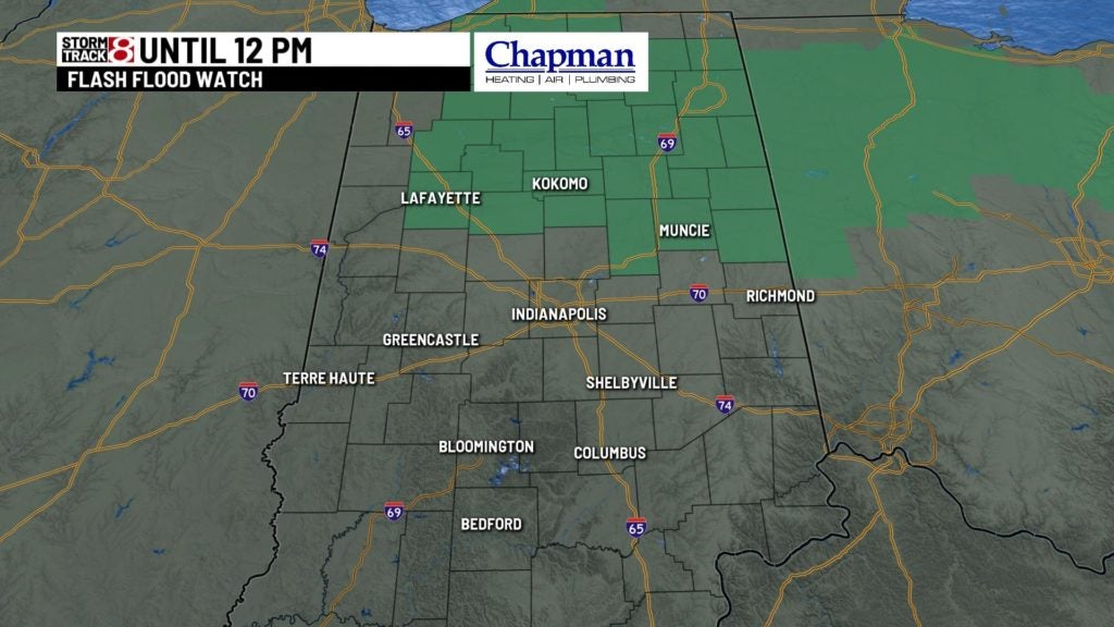
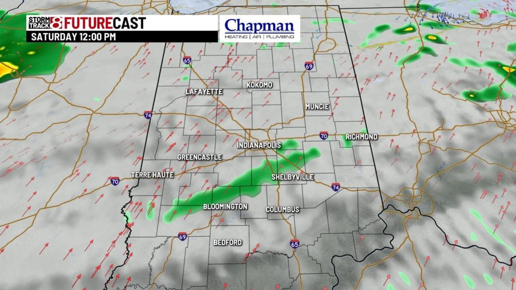
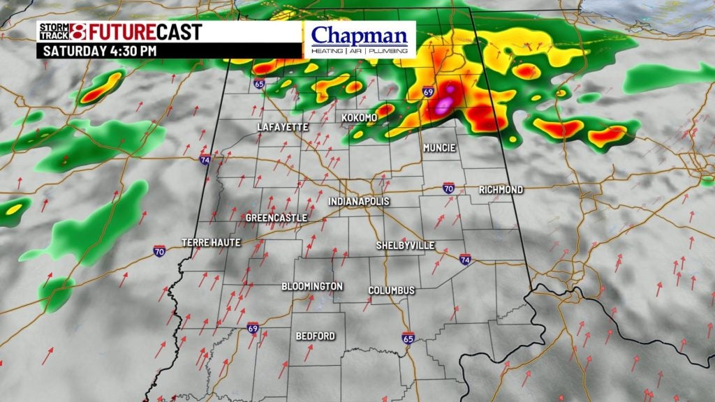
We’re keeping an eye on two rounds of storms that will push through the region Saturday. The first will move through in the morning, bringing scattered storms to the area. There is a threat for severe storms with this first round, with the main concern being large hail. The biggest threat with these storms will be the potential for flooding, especially up north. As a result, a flash flood watch is in effect for the northern third of the state for Saturday morning.
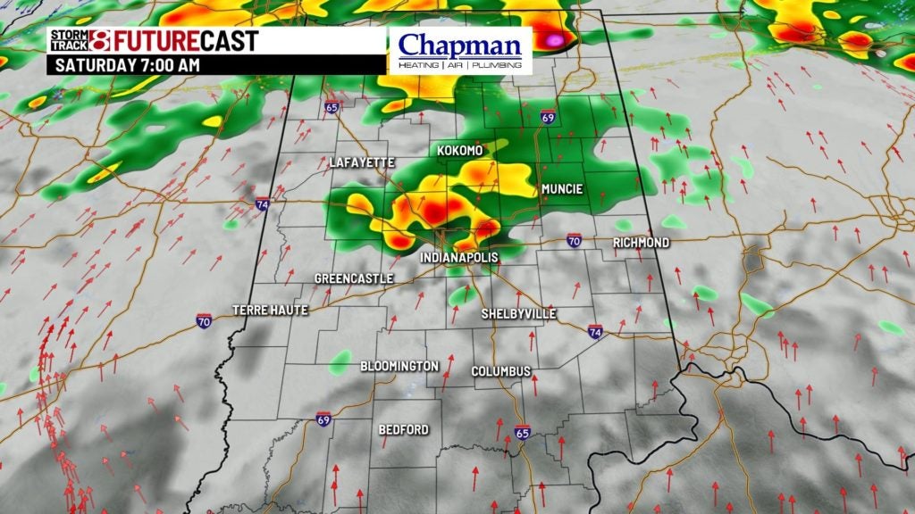
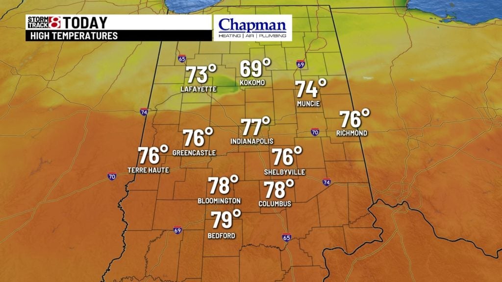
We’ll actually catch a brief break from storms by late morning into the early afternoon – so the possibility to enjoy some very warm temps outside is possible. Highs will top out in the middle to upper 70s.
Saturday Night:
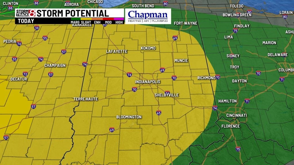
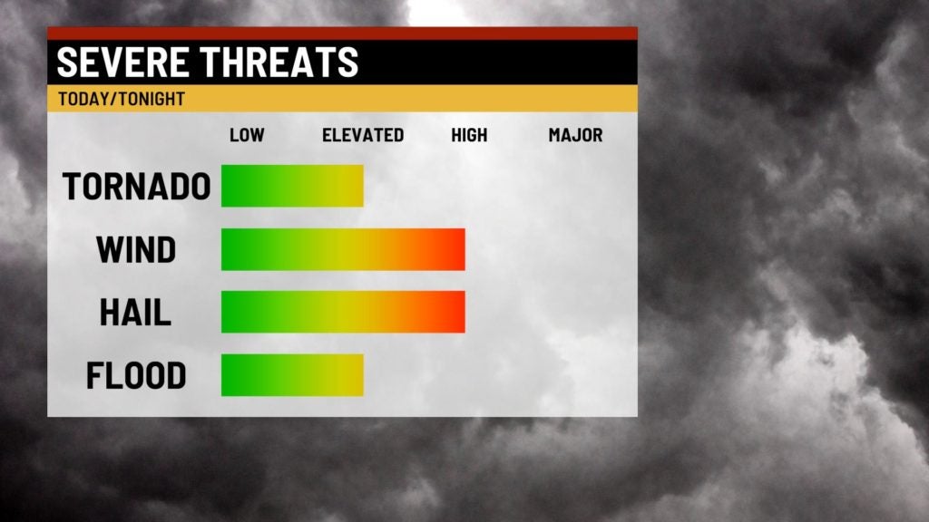
A second wave of storms will ride ahead of a potent cold front. There is a Slight Risk for severe storms across much of our state, with all modes of severe weather in play, including isolated tornadoes. Time frame could be as early as late afternoon, but more than likely will be into the evening and early overnight hours. There is a much higher probability of severe storms to our west in central and western Illinois, but still plenty of dynamics in play to keep the risk for severe storms possible across central Indiana.
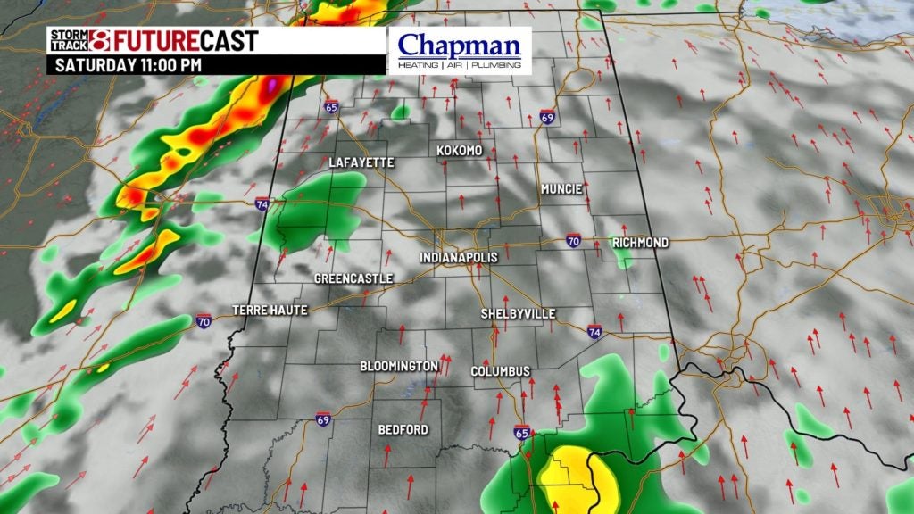
Once the storms move out, just isolated showers will remain through daybreak. Lows will fall to the lower 50s.
Sunday:
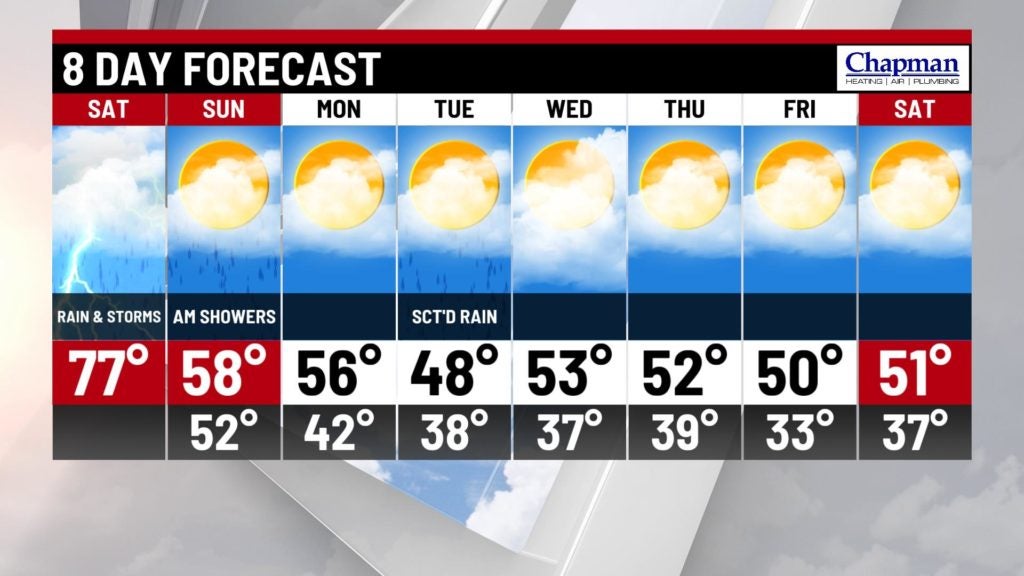
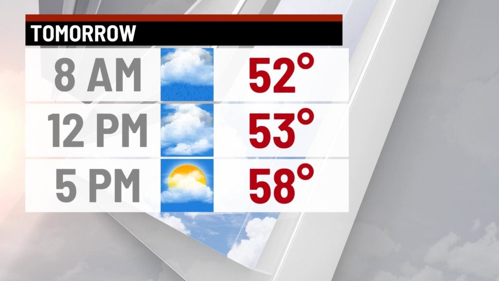
Some lingering showers will be possible just before daybreak, but the rest of the day should be dry. There will be cooler temperatures with gusty winds through much of the day. Highs will top out in the middle to upper 50s.
8-Day Forecast:
Cooler temperatures will dominate the extended forecast. Some isolated light showers will be possible on Tuesday, but for the most part, much of the upcoming week looks quiet, with highs holding in the lower to middle 50s through next weekend.
