Rain/snow mix Tuesday
INDIANAPOLIS (WISH) — Wintry precipitation makes a return this morning.
Tuesday:
A quick burst of rain and snow is rolling through the state. Expect this to continue to fill in through the mid morning hours – especially over the northern half of the state, where a mix of rain and snow is possible.

Accumulations will be pretty limited, and roads should remain mainly wet. A few isolated slick spots can’t be ruled out, but shouldn’t be a huge problem for the morning drive,


Later today, low pressure will hover overhead. Expect just isolated rain/snow showers through the early evening hours.


Tonight:
Mostly cloudy and quiet conditions. Lows fall to the mid 30s.

Wednesday:
Dry weather takes over, steering us through a chill on Wednesday. Highs only hit the lower 40s with mostly cloudy conditions.


Thursday/Friday:
Thursday brings warmer winds and lots of sun, pushing temperatures into the 50s for the first time in a while.

Friday stays warm with some clouds rolling in, setting the stage for a weekend weather system. Highs top out in the mid/upper 50s. Wind gust both days could reach up to 30-35mph.
8 day forecast:
Confidence is building in a strong winter system rolling in this weekend, bringing rain and eventually a mix of rain and snow. The big question for the weekend is how quickly the air gets cold enough for snow.
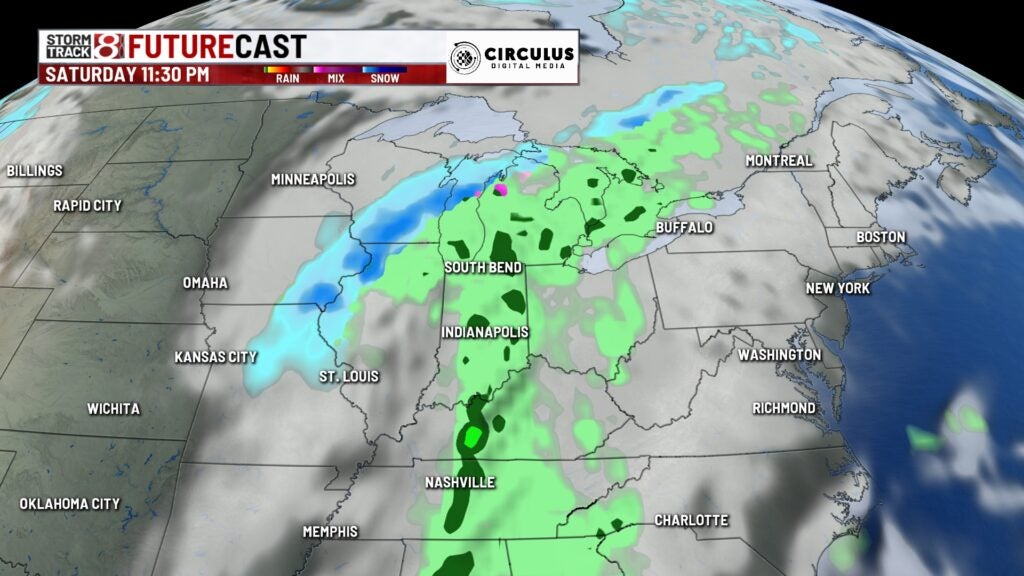
We’re getting more confident in snow chances this weekend, but there’s still some doubt about how much we may see. Some of the projections are suggesting a shot at around half an inch of snow for the weekend, and a lower chance of more than an inch.
It’s going to be breezy over the weekend, with gusts up to 20-35 mph. Saturday’s temperatures will be mild, but we turn sharply cooler on the back end of the weekend system on Sunday. This will set up up for a cool start to the new work week.
