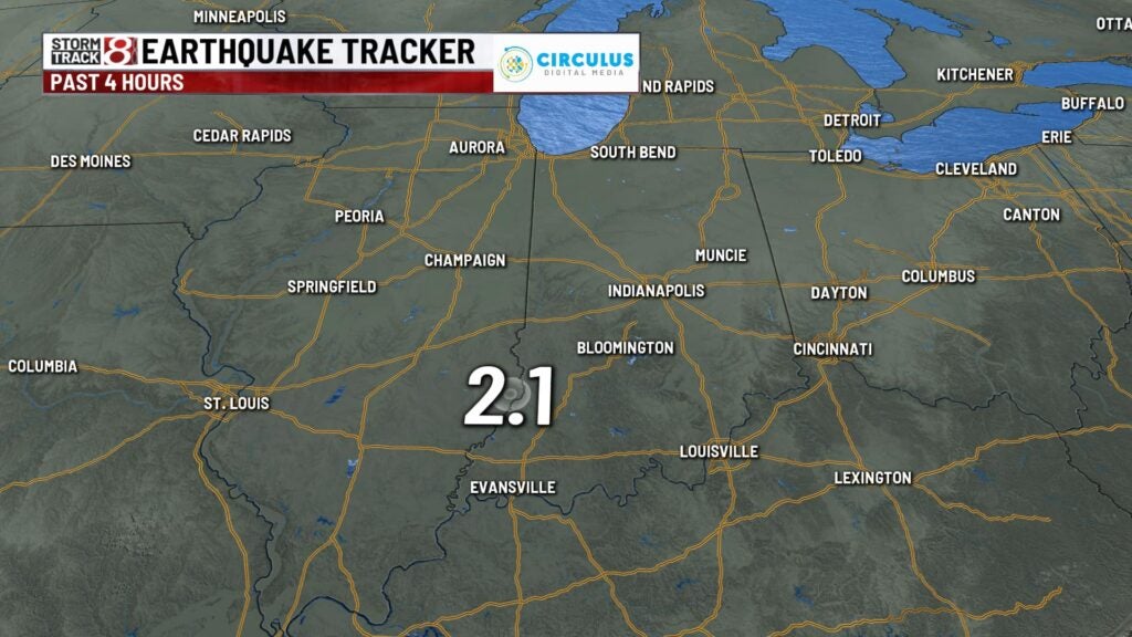
2 weak earthquakes reported near Indiana-Illinois state line
INDIANAPOLIS (WISH) — Earthquakes are rare in Indiana, but they aren’t completely unheard of. Over the past two days, two weaker earthquakes have been reported at the Indiana-Illinois state line near Vincennes.
Earthquake number one came on Monday during the late evening hours with a magnitude of 2.3 just north and west of Vincennes.
The depth of this earthquake was 4.2 kilometers, which equates to about 2.6 miles. Quakes at that depth are considered “shallow.” The deeper the earthquake is in the earth’s core, the more powerful it is, but it’s also less likely to be felt on the surface.

On Tuesday, a weak 2.1 magnitude earthquake was reported in roughly the same area in the afternoon hours.

The two Indiana quakes would have barely been felt within these regions.
Earthquakes in Indiana
The Hoosier state has been shaken by earthquakes many times in the past.
On June 17, 2021, a 3.8 earthquake was reported in Parke County near the Indiana-Illinois border. The quake was felt in Indianapolis, which is 75 miles west of the epicenter.
The strongest earthquake to shake the Hoosier state in recent years was actually a series of three earthquakes in April 2008. The first quake, a magnitude 5.2, was the strongest. It was felt throughout Indiana and as far away as Wisconsin.
