Weather blog: Snow showers arrive in central Indiana
Interactive radar | FutureCast | Current conditions | Hourly temperature forecast | Watches and warnings
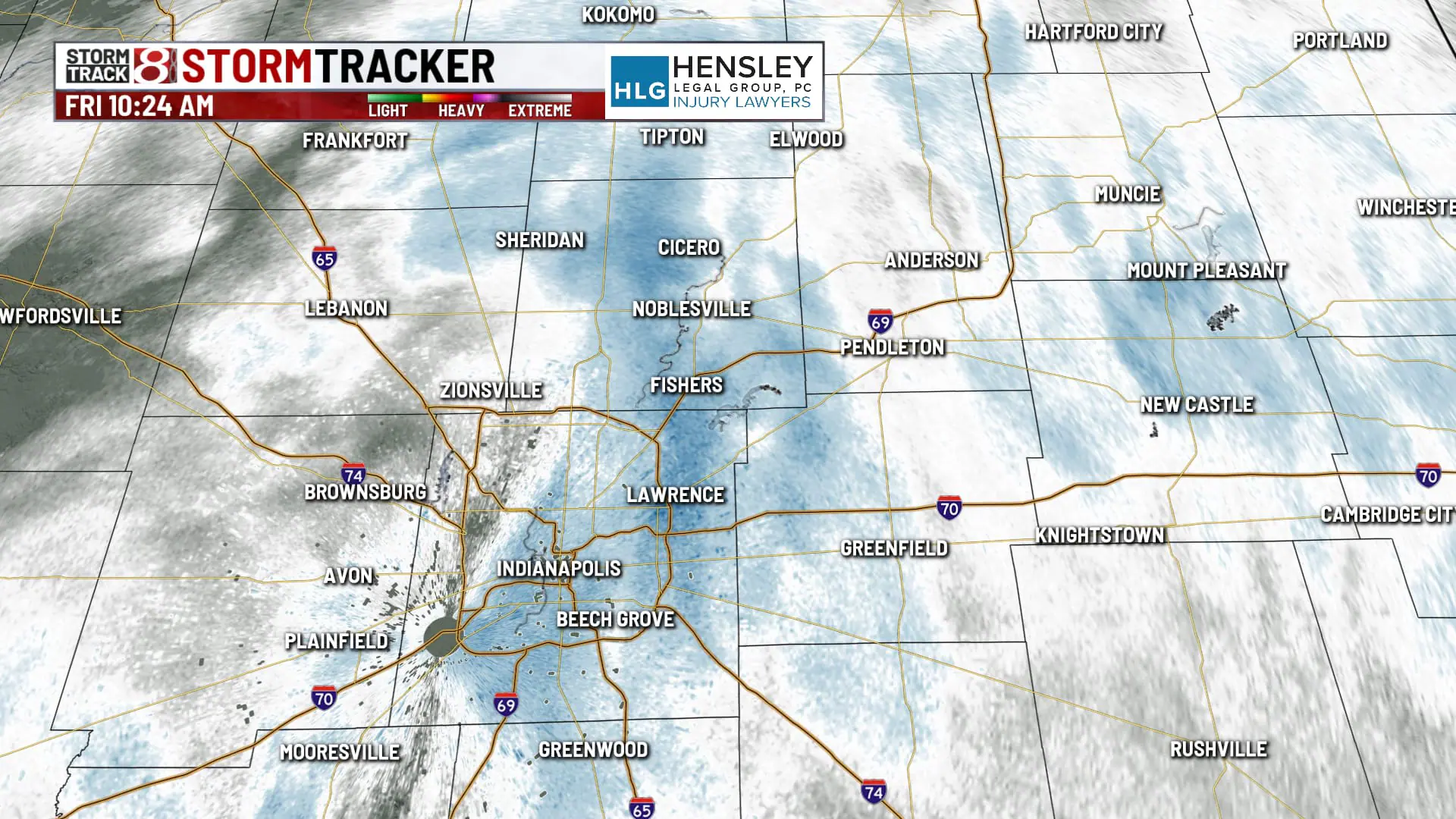
INDIANAPOLIS (WISH) — A fast-moving winter system is on its way through central Indiana, bringing with it wind gusts and snow that will fall heaviest during the Friday morning rush hour.
What will start as a chilly rain will move into snow once temperatures cool throughout the morning, but then give way to cold winds come the afternoon.
Indy Snow Force Viewer Map | Indiana’s travel advisory map
10:45 a.m.
10:40 a.m.
Late-morning snowfall could bring a dusting up to an inch of accumulation across parts of Central Indiana. Farther northward, we could see 1-2 inches of snow.
Snow showers will come to an end after the lunch hour and we will see mostly cloudy conditions for the rest of the day, according to Storm Track 8 Meteorologist Tara Hastings.
Overall, a wet and breezy Friday with winds gusts of 30+ mph possible this afternoon. High temperatures will climb into the low to mid-30s, which is a bit below average for this time of year.

10:30 a.m.
Rain has finally shifted over to snow in the Indy metro. If you have to be out on the roads, be sure to turn on your headlights and leave plenty of space between your car and the vehicle in front of you.
10:10 a.m.
Will college football fans see a snow bowl in South Bend? Ryan Morse has the answer.
6:17 a.m.
Storm Track 8 Meteorologist Marcus Bailey says to stay on high alert for some slick spots this morning.
