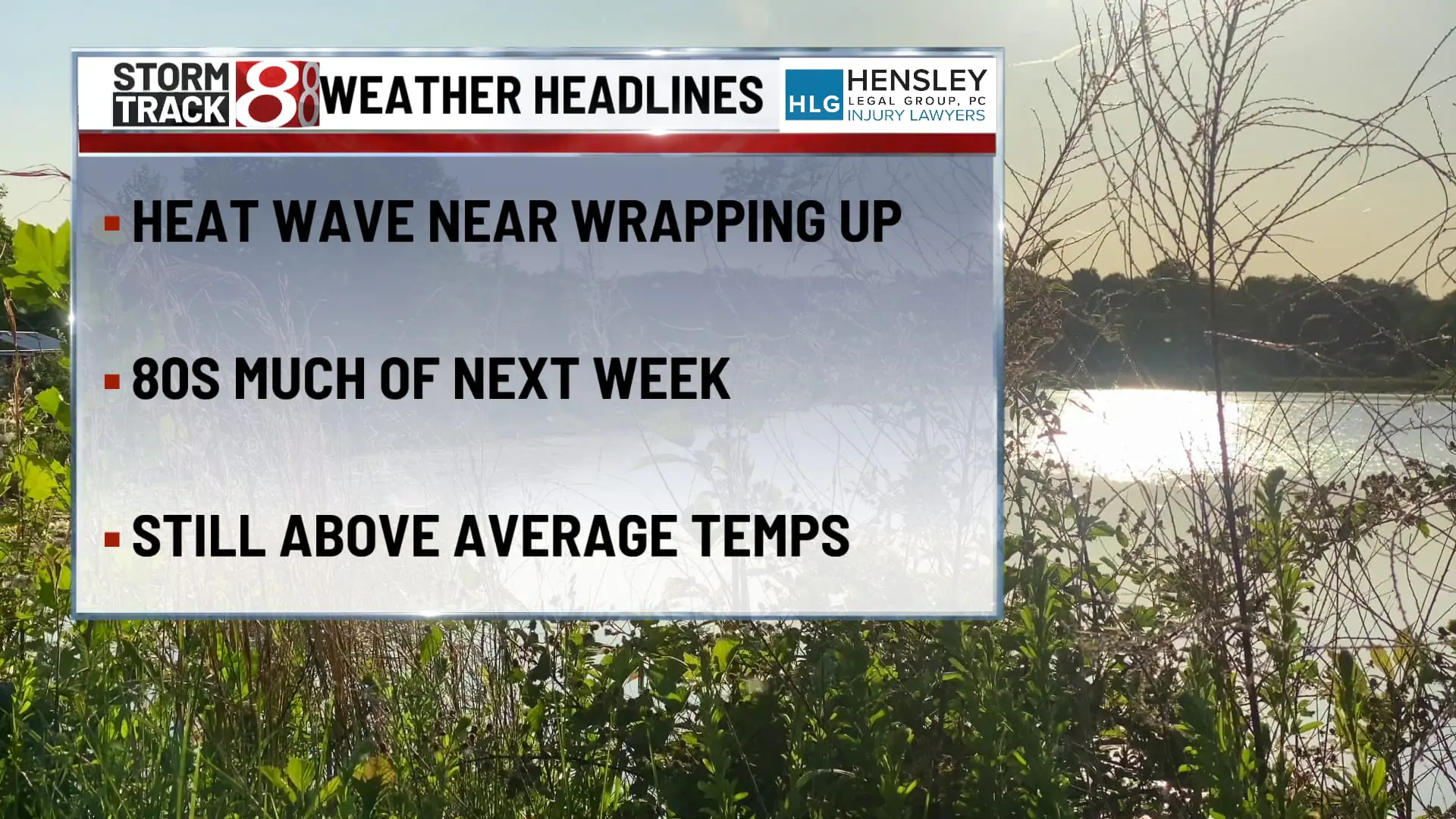
Indiana’s heat wave continues into the weekend
TODAY

The weekend kicks off with sunny skies and hot temperatures peaking in the mid to low 90s. Expect calm winds shifting to the west in the afternoon, making for a clear and warm day.
TONIGHT

Mostly clear conditions continue into the night, with lows settling around the mid-70s. Light southwest winds will persist, keeping the evening warm.
TOMORROW
Saturday heats up further with highs pushing to about 95°F under mostly sunny skies. Morning light southwest winds will pick up slightly, ranging from 5 to 10 mph.
TOMORROW NIGHT
The night brings a slight chance of showers and thunderstorms after 2 AM, with partly cloudy skies and lows in the mid-70s. Southwest winds will blow at 5 to 10 mph.
SUNDAY
The chance for showers and thunderstorms increases to 50% mainly between the morning and early afternoon. It will be partly sunny with highs around 90°F and gusts as high as 20 mph adding a bit of relief.
SUNDAY NIGHT
Isolated showers and thunderstorms may linger before 8 PM. The rest of the night will be mostly clear with a cooler low around 68°F, and west winds at 5 to 10 mph.
MONDAY
The week starts cooler with sunny skies and a high in the upper 80s. Expect west-northwest winds at about 5 to 10 mph.
MONDAY NIGHT
Mostly clear with lows around 70°F. North-northwest winds will calm down in the evening, setting the stage for a quiet night.
TUESDAY
Isolated showers and thunderstorms return in the afternoon under mostly sunny skies and hot conditions with highs in the mid to low 90s. Southwest winds will be gentle at about 5 to 10 mph.
TUESDAY NIGHT
The night may see scattered showers and thunderstorms, particularly before 8 PM, with mostly cloudy conditions and lows in the low 70s.
8 DAY FORECAST

As the heat wave persists, anticipate continued high temperatures with periodic storm chances. The weather next week looks to remain above average, primarily in the 80s, though a 90°F day is still possible. This slight cooldown will be a welcome change from the recent extreme heat.