Weather Blog: Saturday evening forecast
Sunset: 8:55 PM
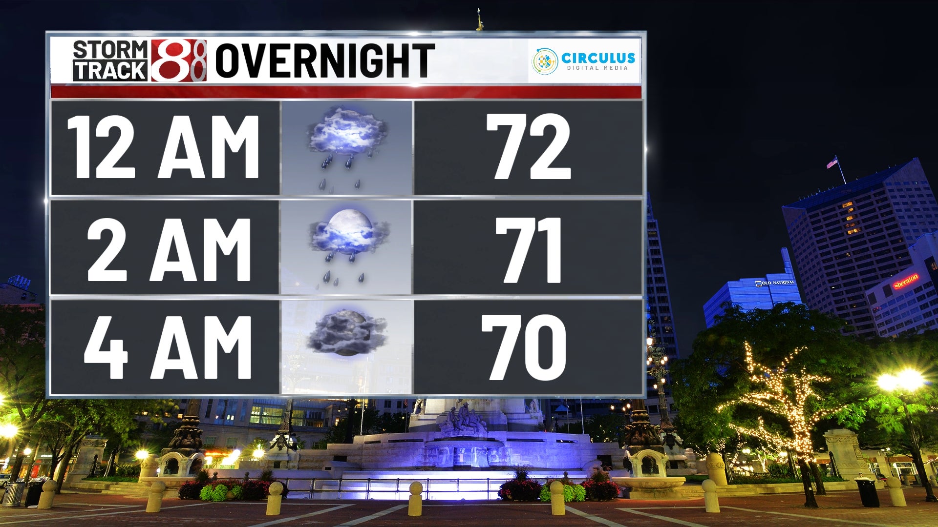
Tonight: Tonight, we are set up for an unstable atmosphere with a system moving right through our backyards. The heat and humidity of the Saturday air will help fuel chances for severe weather as we head towards the late afternoon and early evening hours. Wind damage and a brief tornado are our biggest concerns moving ahead. Winds tonight will be out of the southeast at 10 MPH and a low temperature of 69 will be where we find ourselves Sunday morning after the stormy night.

Tomorrow: Sunday morning may still hide a small shower or two, but the majority of Sunday will be cloudy and rain free. High temperatures in the afternoon will be in the low 80s and we’re expecting things to remain breezy with wind out of the southwest at 10 MPH.

Tomorrow Night: Another wave of storms come in Sunday night and linger through Monday as another system moves into the forecast. Severe weather once again in the realm of possibility with this next wave. We will see ambient winds slower than the prior 24 hours, but things could get gusty within these storms. Low temperature will be just shy of 70 degrees.

8 Day Forecast: After that system moves out of the forecast Tuesday, we get a break from the wet weather. Unfortunately, those storms won’t be gone for too long, it looks likely that another wave comes our way Wednesday night into Thursday and then more chances again later on Friday afternoon. All throughout this turbulent weather, temperatures should remain mostly stable with most afternoons reaching the lower 80s.